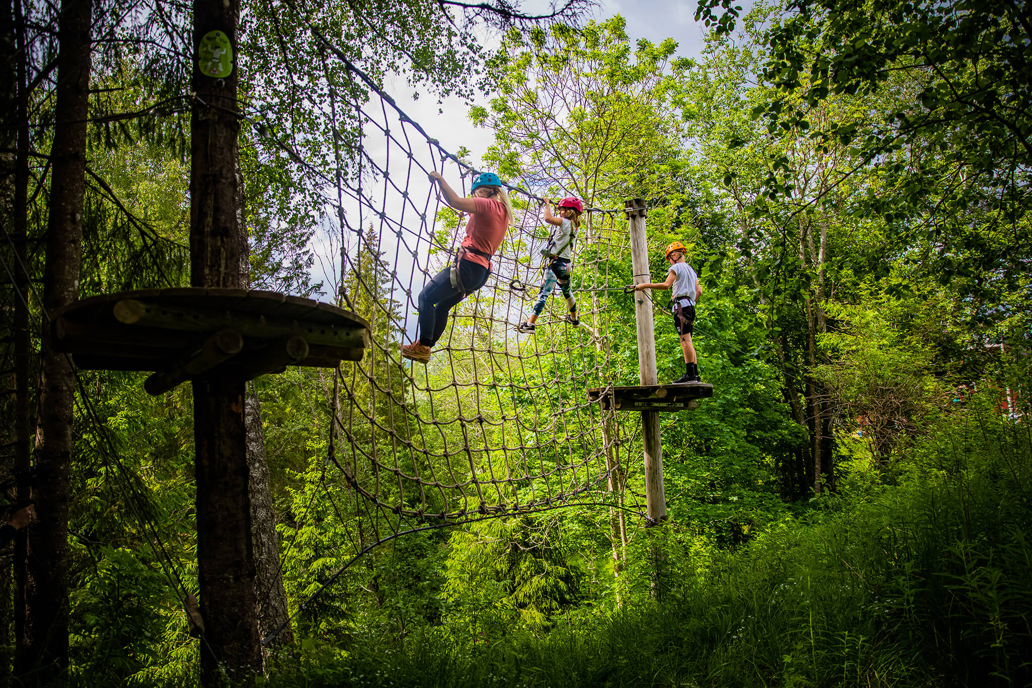
Visit a Høyt & Lavt Adventure Park
Directions to H&L Vestfold
Below you will find directions and how to get to Høyt & Lavt Climbing Park in Vestfold.
Address
Lågendalsveien 3388
3277 Steinsholt
Vestfold
NORWAY
Map
By Car
Along RV 40, just north of Steinsholt or 6 km south of Svarstad, you will see the sign “Høyt & Lavt”.
We have free parking. If you need to charge your electric car you will find the nearest charging station in Svarstad.
GPS Coordinates
GPS Latitude: 59.342527
GPS Longitude: 9.911020
By Bus
From cities in Vestfold
If you are traveling from Tønsberg, Sandefjord, Larvik or other cities in Vestfold, there are public buses available. Please see Vestfold Kollektivtrafikk for schedules (Norwegian website only). Our nearest stop is Eide. From Eide you will see the Høyt & Lavt sign, and it is about 500 m to walk down to the climbing park.
Distances
Oslo: 108 km (1 hour 26 min)
Tønsberg: 50 km (1 hour)
Sandefjord: 37 km (40 min)
Larvik: 33 km (32 min)
Skien: 27 km (30 min)
Kongsberg: 58 km (58 min)
Meld deg på vårt nyhetsbrev!
Få med deg spennende nyheter hos oss.