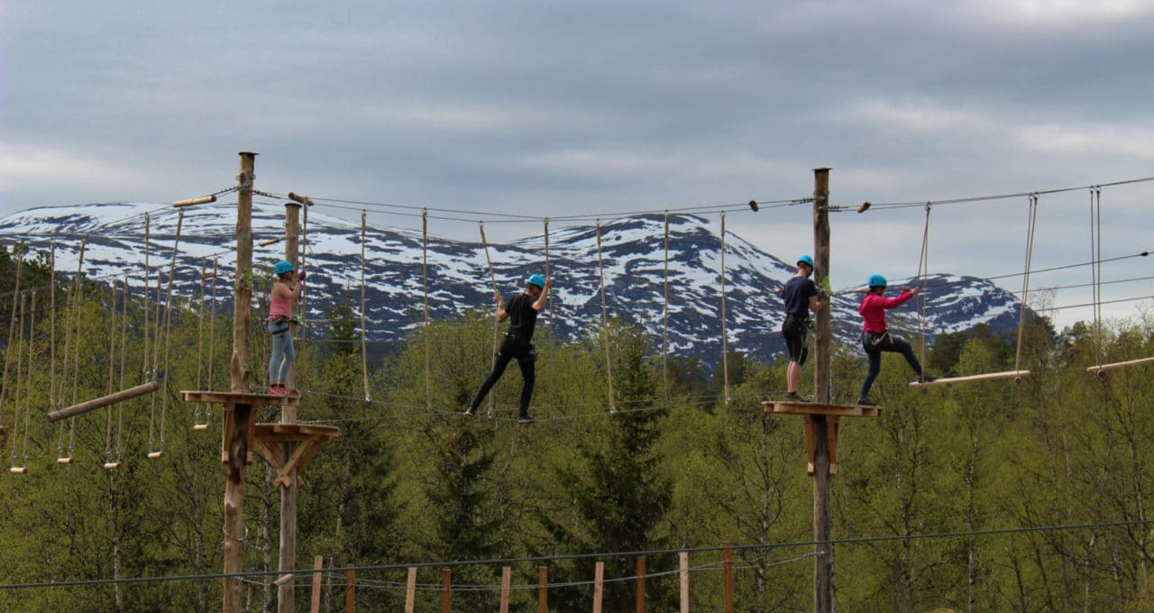
Visit a Høyt & Lavt Adventure Park
Directions to H&L Bjorli
Here you can find information on how to get to the climbing park.
Address
Gardsvegen 22, 2669 Bjorli. (Right next to Bjorli Ski Center).
Map
By Car
Look for the Høyt & Lavt sign at the roundabout in Bjorli, continue towards Bjorli ski center and follow the sign.
GPS coordinates
GPS Latitude: 62.26782
GPS Longitude: 8.20981
By Train
Raumabanen from either Dombås or Åndalsnes. Check out nsb.no for more info.
Distances
- Dombås: 55 km (45 min)
- Kristiansund: 169 km (3 hrs 10 min)
- Lillehammer: 209 km (2 hrs 53 min)
- Molde: 110 km (2 hrs 22 min)
- Oppdal: 134 km (1 hr 48 min)
- Oslo: 390 km (4 hrs 55 min)
- Trondheim: 253 km (3 hrs 40 min)
- Ålesund: 155 km (2 hrs 18 min)
- Åndalsnes: 50 km (46 min)
