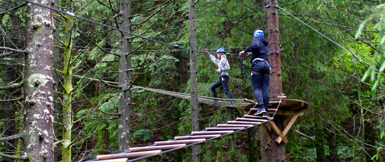
Visit a Høyt & Lavt Adventure Park
Directions to Høyt & Lavt Bergen
Below you will find directions and how to get to Høyt & Lavt Climbing Park in Bergen.
Address
Osvegen 141, 5227 Nesttun, Bergen
Map
By car
From Bergen city centre, drive about 12km (15 minutes) on E39 towards Os. You will find our climbing park on the right side of the road.
Parking: NOK 85,-
By Light Rail
Bergen Light Rail Line 1
Take light rail line 1 to Nesttun terminal and then take bus number 610 to Osøyro. Get off the bus at the stop Kirkebirkeland, which is only a 3 minutes walk from our park.
Another option is to take light rail line 1 to Skjoldskiftet, located at 2,6 km from our park and walk for approximately 30 minutes.
GPS Coordinates
GPS Latitude: 60.299097
GPS Longitude: 5.378020
Distances
Bergen city centre: 12 km (18 min)
Lagunen: 5,4 km (10 min)
Bergen airport Flesland: 10,6 km (17 min)
Voss: 98 km (1 t 27 min)
Meld deg på vårt nyhetsbrev!
Få med deg spennende nyheter hos oss.