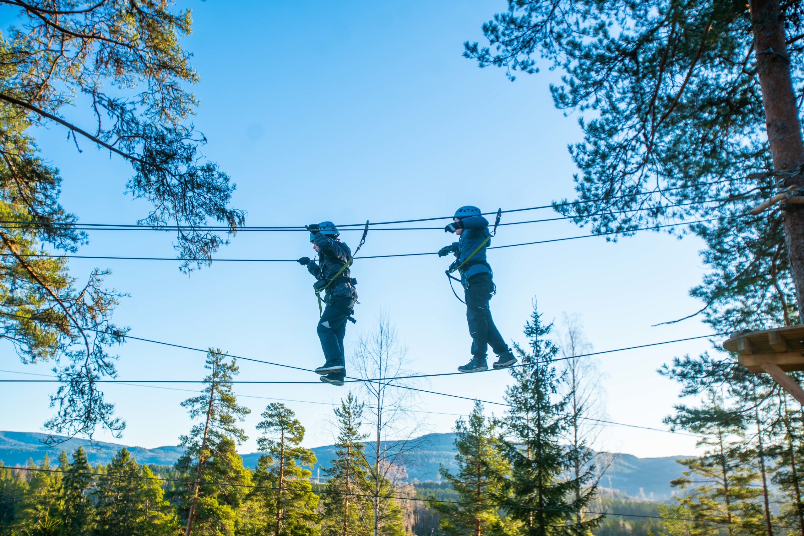
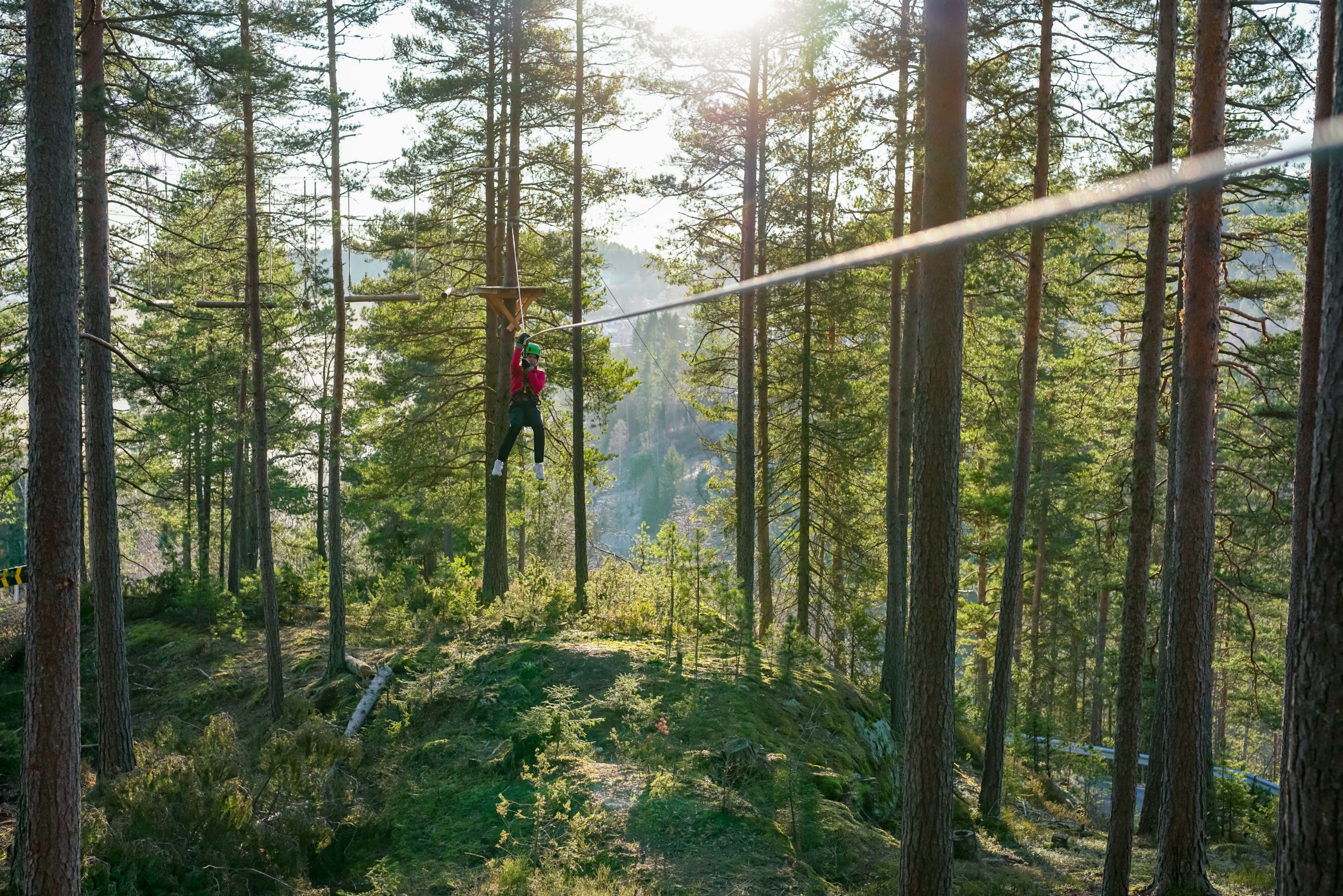
Visit a Høyt & Lavt Adventure Park
Directions
Below you will find directions and how to get to Høyt & Lavt Climbing Park in Modum.
Address
Overnveien 100
3340 Åmot
NORWAY
Map
By Car
Høyt&Lavt Modum is located in Åmot in Modum, 37 km from Drammen, 45 km from Hønefoss and 42 km from Kongsberg.
Directions from fra Drammen:
Follow R35 to Åmot, then R287 in the direction of Blaafarveværket. When you pass Blaafarveværket, drive over the bridge on to F146.
The park is situated ca. 5,5 km from Åmot center.
GPS Coordinates
GPS Latitude: 59.920319
GPS Longitude: 9.883428
By Bus
Route 100 Drammen – Vikersund – Hønefoss stops in Åmot. Change to route 105 Åmot – Eggedal – Bergshammeren, the stop is called Haugfoss (Blaafarveværket). From here there is a 15 min walk.
Brakars schedules for Modum – Sigdal – Krøderen (Norwegian website).
https://www.brakar.no/rutetabeller-og-linjekart/ruter/
Distances
Drammen: 37,1 km (39 min)
Kongsberg: 41,8 km (41 min)
Hønefoss: 44,7 km (45 min)
Norefjell: 53,6 km (57 min)
Haglebu: 73,7 km (1 time 9 min)
Oslo: 81,4 km (1 time 11 min)
Meld deg på vårt nyhetsbrev!
Få med deg spennende nyheter hos oss.