Visit a Høyt & Lavt Adventure Park
Directions to H&L Nedstrand
Here you can find information on how to get to the climbing park.
Address
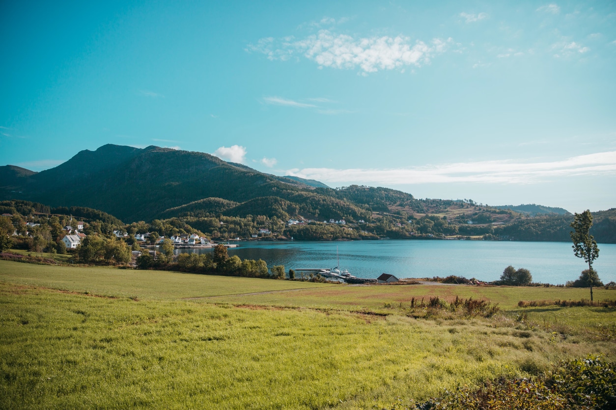
The climbing park is located in Tveitåsen – Hinderåvåg in Nedstrand. It is the same area as Tveit High School and Tveit Gard.
Map
By car
- From E39 (main highway Bergen-Stavanger), take a right towards “Nedstrand” on Riksvei 515 just 1 km east (towards Bergen) of Aksdal in Tysvær.
- Drive on Riksvei 515 for 33 km (approx. 20-25 minutes) until you come to Hinderåvåg, and then take the first road to the right in the traffic circle at Nedstrand Church.
- Then, take the next road to the right and drive approx. 500 meters and you see Tveit Gard and Tveit High School.
- Drive to the parking lot to the south, up against the forest.
- You’ve now arrived at Hoyt & Lavt Nedstrand!
GPS coordinates
WGS84 59°20’39.1″N, 5°47’40.8″E (WGS84 decimal – N 59.344203, E 5.794655)
Public Transport
A bus runs from Haugesund-Aksdal to Nedstrand several times on weekdays, while the service is more limited during the weekends. But even then, it is possible to make it back in the afternoons.
Distances
BY CAR
From Hauglandet, you can usually reach Nedstrand in 30-50 minutes, while from the Stavanger region it will take up to 1.5-2 hours.
- Åkrehamn: 69 km.
- Kopervik: 63 km.
- Haugesund: 48 km.
- Aksdal: 35 km.
- Stord: 100 km.
- Bømlo: 90 km.
- Sandnes: 123 km.
- Stavanger: 110 km.
- Suldal: 100 km.
- Sauda: 85 km.
- Bergen: 170 km.
BY BOAT
Hinderåvåg is easily accessible by boat from Stavanger and Ryfylke. It takes approx. 1 hr from Stavanger with a speed of 20 knots.